Description
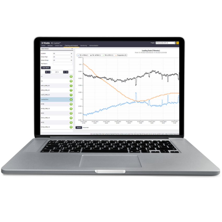
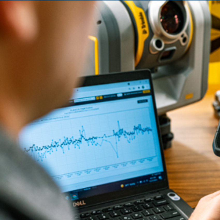
Trimble 4D Control is a comprehensive monitoring and analysis software solution designed for various applications, including structural and geotechnical monitoring. Here are some key features and aspects of Trimble 4D Control:
-
Real-time Monitoring: Trimble 4D Control enables real-time monitoring of structures, providing immediate insights into movements, displacements, and other critical parameters. This real-time capability is crucial for quickly responding to potential issues.
-
Multi-Sensor Integration: The software integrates data from various monitoring sensors, such as GNSS receivers, total stations, geotechnical sensors, and environmental sensors. This multi-sensor integration allows for a holistic view of the monitored area.
-
Automated Data Analysis: Trimble 4D Control automates the analysis of monitoring data, streamlining the process and allowing users to focus on interpreting results rather than spending extensive time on manual data processing.
-
Alerts and Notifications: The software provides customizable alerting and notification features. When predefined thresholds are exceeded, users can receive immediate alerts, enabling timely response to potential issues and ensuring the safety and stability of structures.
-
Historical Data Analysis: In addition to real-time monitoring, Trimble 4D Control allows users to analyze historical data trends. This capability is valuable for assessing long-term behavior and identifying patterns or trends that may influence decision-making.
-
Terrestrial and Satellite Imaging: Trimble 4D Control supports the integration of terrestrial and satellite imaging data. This feature enhances the visualization of monitoring areas and provides additional context for understanding changes over time.
-
Corridor Monitoring: The software offers corridor monitoring capabilities, particularly relevant for infrastructure projects like highways, railways, and pipelines. It allows users to monitor the entire corridor for movements and deformations.
-
Customizable Reporting: Users can generate customizable reports summarizing monitoring data. These reports are useful for communication with stakeholders, regulatory authorities, or project teams, providing a clear overview of the monitoring results.
-
Integration with Trimble Instruments: Trimble 4D Control seamlessly integrates with Trimble's portfolio of monitoring instruments, ensuring compatibility and efficient data transfer.
Whether applied to construction sites, mining operations, or critical infrastructure projects, Trimble 4D Control plays a vital role in ensuring the safety, stability, and performance of monitored structures and environments.

