.png?width=850&height=850&ext=.png "DJI Zenmuse L1 SP DJI Care Enterprise Plus (1 Year)")
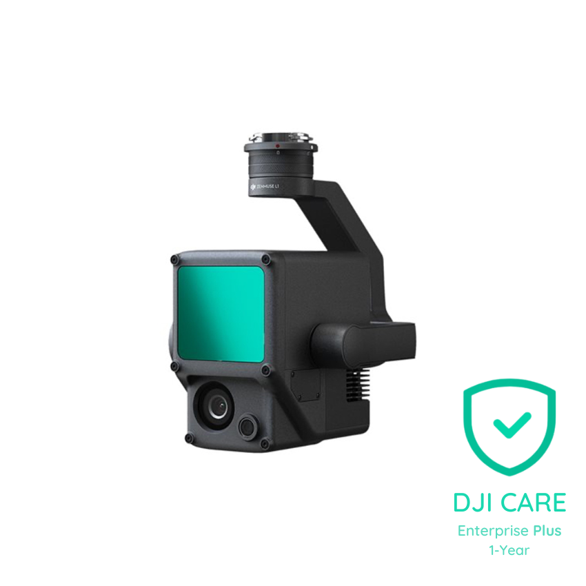
DJI Zenmuse L1 SP - DJI Care Enterprise: Plus (1 Year)
Manufacturer: DJI
In categories: Drone Solutions
-
SKU: CB202104210105
-
AVAILABILITY: In stock
Description
A Lidar + RGB Solution for Aerial Surveying - With Protection!
Elevate Your Aerial Surveying with DJI Zenmuse L1 LiDAR Payload
Experience the future of aerial surveying with the DJI Zenmuse L1 LiDAR payload, now available at Keystone Precision Solutions. This cutting-edge solution integrates a Livox LiDAR module, a high-accuracy IMU, and a camera with a 1-inch CMOS on a 3-axis stabilized gimbal. When used with Matrice 300 RTK and DJI Terra, the L1 forms a complete solution that gives you real-time 3D data throughout the day, efficiently capturing the details of complex structures and delivering highly accurate reconstructed models.
Visualize Data as You Fly
Livox LiDAR Module
- Frame Lidar with up to 100% effective point cloud results
- Detection Range: 450m (80% reflectivity, 0 klx) / 190 m (10% reflectivity, 100 klx)
- Effective Point Rate: 240,000 pts/s
- Supports 3 Returns
- Line Scan Mode and Non-repetitive Petal Scan Mode
Everything in View
RGB Camera
- 20MP
- 1-inch CMOS
- Mechanical Shutter
Accurate Details at Your Disposal
High-Accuracy IMU
- Accuracy: 0.025° (roll/pitch) / 0.08° (yaw)
- Vision Sensor for Positioning Accuracy
- GNSS, IMU, RGB Data Fusion
Point Cloud LiveView
Real-time point clouds provide immediate insights onsite, so operators are informed to make critical decisions quickly. You can also verify fieldwork quality by checking point cloud data immediately after each flight.
Measurement and Annotation
Acquire and communicate critical dimensions on the point cloud model using measurements and annotations.
One-stop Post-processing
DJI Terra fuses the IMU and GNSS data for point cloud and visible light calculations, in addition to conducting POS data calculations so you can effortlessly generate reconstructed models and accuracy reports.
System Performance
- Detection Range: 450 m @ 80% reflectivity, 0 klx ; 190 m @ 10% reflectivity, 100 klx
- Point Rate: Single return: max. 240,000 pts/s ; Multiple return: max. 480,000 pts/s
- System Accuracy (RMS 1σ): Horizontal: 10 cm @ 50 m; Vertical: 5 cm @ 50 m
- Real-time Point Cloud Coloring Modes: Reflectivity, Height, Distance, RGB
Lidar
- Ranging Accuracy (RMS 1σ): 3 cm @ 100 m
- Maximum Returns Supported: 3
- Scan Modes: Non-repetitive scanning pattern, Repetitive scanning pattern
- FOV: Non-repetitive scanning pattern: 70.4° (horizontal) × 77.2° (vertical) ; Repetitive scanning pattern: 70.4° (horizontal) × 4.5° (vertical)
- Laser Safety: Class 1 (IEC 60825-1:2014) (Eye Safety)
Inertial Navigation System
- IMU Update Frequency: 200 Hz
- Accelerometer Range: ±8 g
- Angular Velocity Meter Range: ±2000 dps
- Yaw Accuracy (RMS 1σ): Real-time: 0.3°, Post-processing: 0.15°
- Pitch / Roll Accuracy (RMS 1σ): Real-time: 0.05°, Post-processing: 0.025°
Auxiliary Positioning Vision Sensor
- Resolution: 1280×960
- FOV: 95°
RGB Mapping Camera
- Sensor Size: 1 inch
- Effective Pixels: 20 MP
- Photo Size: 5472×3078 (16:9); 4864×3648 (4:3); 5472×3648 (3:2)
- Focal Length: 8.8 mm / 24 mm (Equivalent)
Shutter Speed
- Mechanical Shutter Speed: 1/2000 – 8 s
- Electronic Shutter Speed: 1/8000 – 8 s
ISO
- Video: 100 – 3200 (Auto), 100 – 6400 (Manual)
- Photo: 100 – 3200 (Auto), 100 – 12800 (Manual)
Aperture Range: f/2.8 – f/11
Supported File System: FAT (≤32 GB); exFAT (>32 GB)
Photo Format: JPEG
Video Format: MOV, MP4
Video Resolution: H.264, 4K: 3840×2160 30p
Gimbal
- Stabilized System: 3-axis (tilt, roll, pan)
- Angular Vibration Range: 0.01°
- Mount: Detachable DJI SKYPORT
- Mechanical Range: Tilt: -120° to +30°; Pan: ±